
Export AGS 4, Excel and KML files
Send logs out of GeotechOS Borehole Logging: an AGS 4 file checked against its edition, an Excel workbook with a sheet for each table, or KML for Google Earth.
Applies toWindows and macOSWeb browser
Export the logs of a project to give them to a client, a designer or another program. The commands are on the Output tab of the ribbon.
Export an AGS 4 file
The server writes the AGS file from the investigation as the server has it. Your computer must be online. Sync first, so that the server has all your changes.
- In the project tree, click the investigation, or a hole in it.
- Click Output › Export AGS. If the project has more than one investigation, select the investigation.
- Save the file.
Borehole Logging checks the file against the AGS rules of its edition. A message shows the result, for example AGS 4.1.1 AU 1.2: no AGS rule broken. If the file breaks a rule, Borehole Logging shows the problems.
To export one hole only, right-click the hole in the project tree and click Export AGS4….
Select the AGS edition
On the project page, under Log options, select the edition in AGS files written as:
- AGS 4.1.1 AU 1.2: the Australian edition. This is the default for an Australian workspace.
- AGS 4.1.1: the standard edition.
- AGS4 NZ (AGS 4.0.4): the New Zealand edition.
Click Save options.
Export an Excel workbook
- In the project tree, click the project, the investigation or a hole.
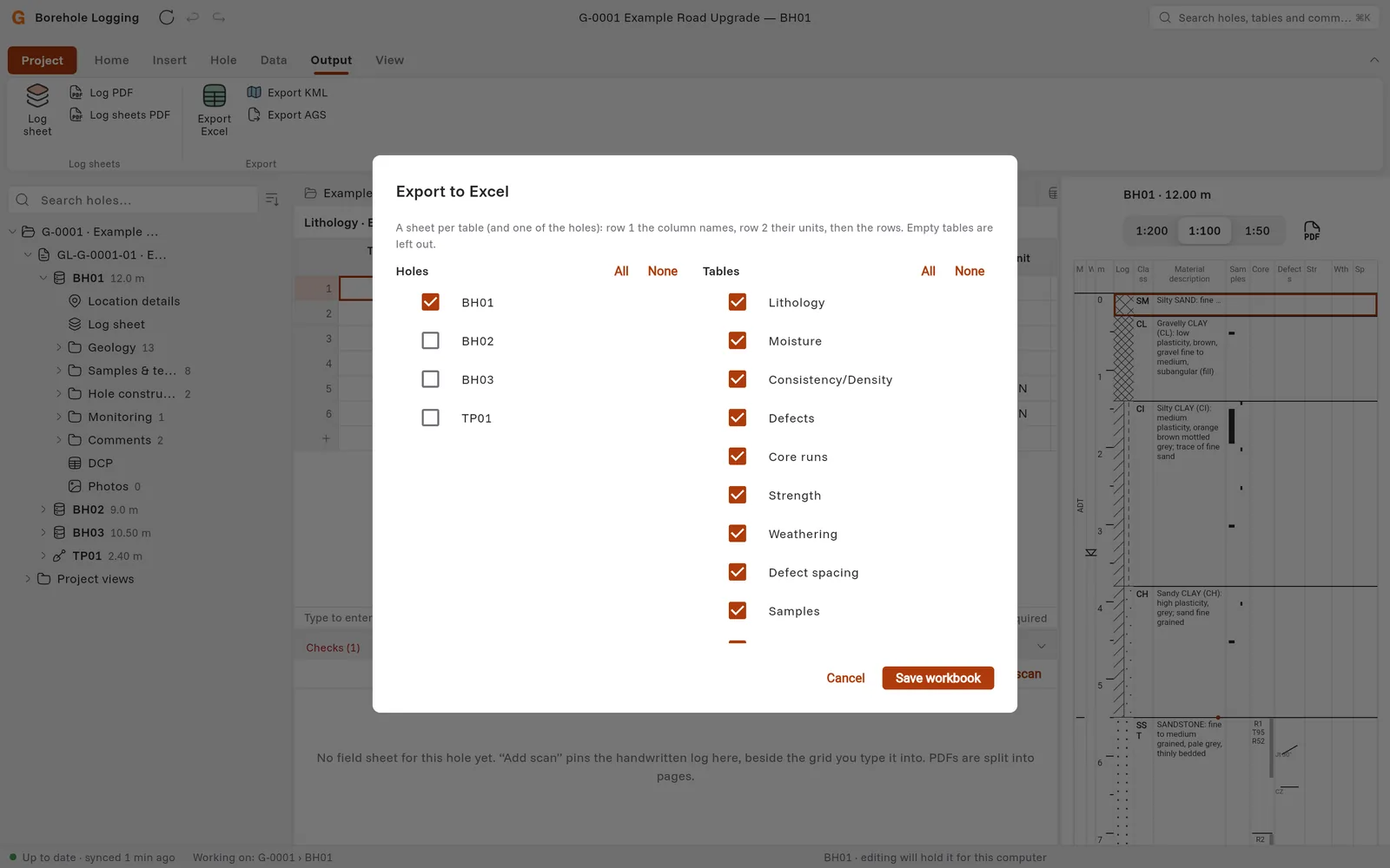
- Click Output › Export Excel.
- Under Holes, tick the holes. Under Tables, tick the tables. Click All or None to change all of them.
- Click Save workbook.
The workbook has a sheet for each table, and a sheet of the holes. Row 1 has the column names, row 2 has the units, then the rows follow. Borehole Logging leaves out empty tables.
Export KML for Google Earth
- In the project tree, click the investigation, or the project for all its holes.
- Click Output › Export KML.
- Save the file, then open it in Google Earth.
Each hole is a placemark. A hole must have a latitude and a longitude, or an easting and a northing in an investigation with an MGA or UTM zone. Borehole Logging tells you which holes it left out.